As a city built on islands, Stockholm is not only surrounded by water but is also home to an abundance of green spaces where you can escape the hustle and bustle of urban life. From tranquil retreats to lively gathering spots, these parks offer a glimpse into the city’s harmonious blend of nature and modernity.
In this article, we’ve curated a selection of the most popular parks, all located within or just a short distance from Stockholm’s inner city, to help you find the perfect spot for relaxation, recreation, or exploration.
The National Royal City Park
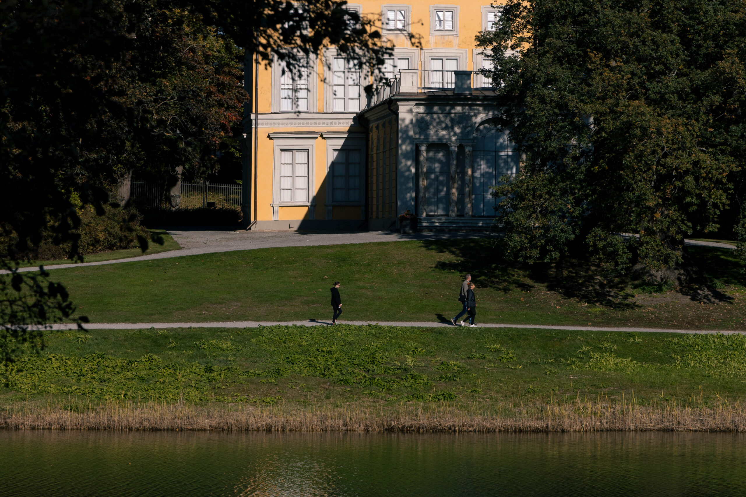
The National Royal City Park (Kungliga nationalstadsparken) is a vast, continuous green space that connects several parks and landmarks, including Haga Park and the expansive North and South Djurgården. Stretching over 10 kilometers (6.2 miles), the park extends from Ulriksdal in the north to Djurgården and the Fjäderholm Islands in the south.
Within its borders are four royal castles: Ulriksdal Castle, Gustav III’s Pavilion, Haga Castle, and Rosendal’s Palace. The park is a popular recreational area for both locals and visitors, offering opportunities for leisurely strolls, jogging, and enjoying the lush greenery.
For more information on activities and attractions in the National Royal City Park, visit their official website: https://www.nationalstadsparken.se/English/
Hagaparken
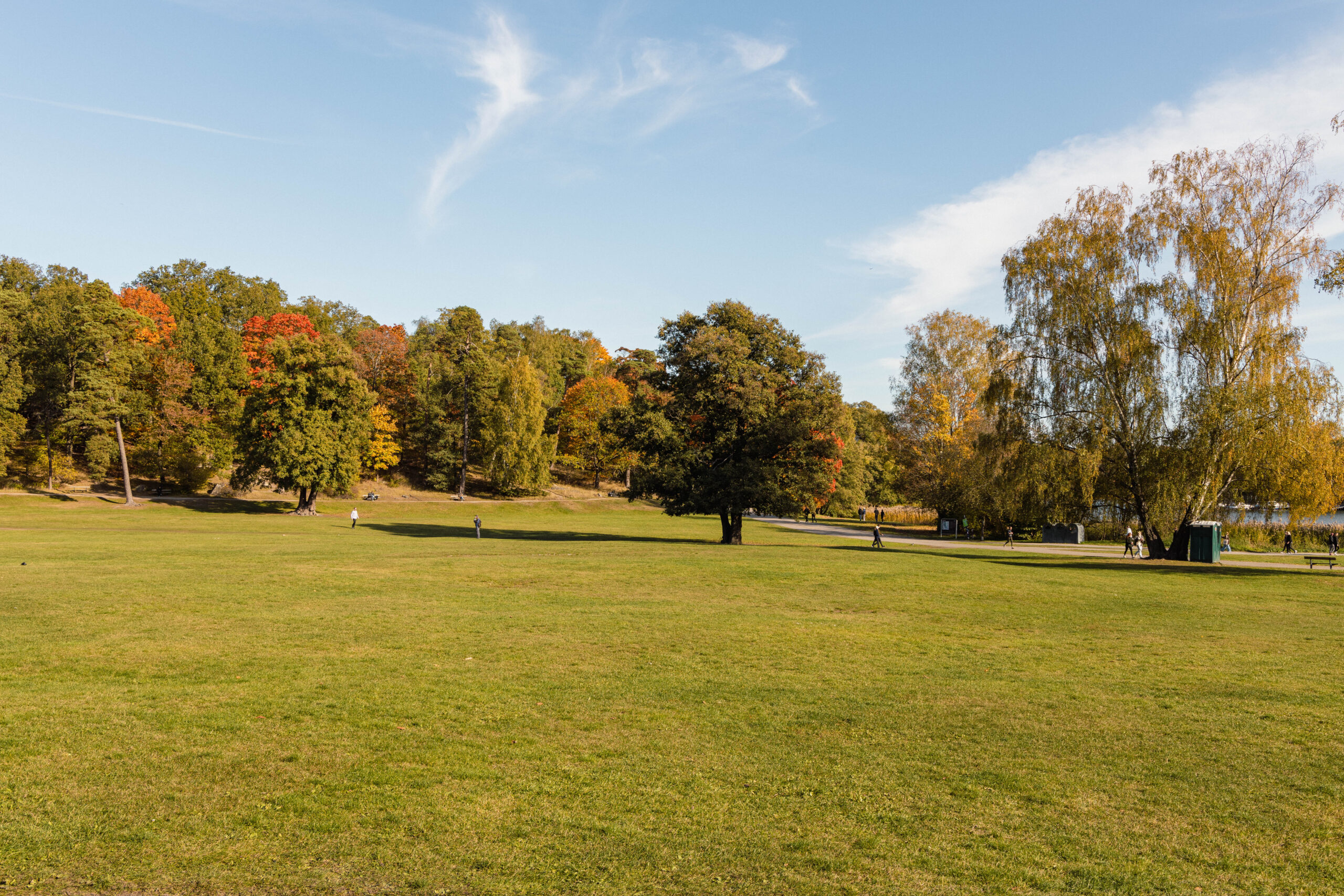
Hagaparken is one of Stockholm’s most popular parks, covering a vast area in the northern part of central Stockholm.
Established by King Gustav III between 1780 and 1797, the park is renowned as one of Europe’s finest examples of an English landscape park. Some popular attractions to see are Haga Palace, which is the residence of the crown princess Victoria and her family Gustav III’s Pavilion, the Copper Tents, and the Butterfly House.
With its expansive lawns perfect for picnics and sports, along with wide gravel paths through forests for walking and cycling, the park offers a lot of recreational opportunities for visitors.
South Djurgården (Södra Djurgården)
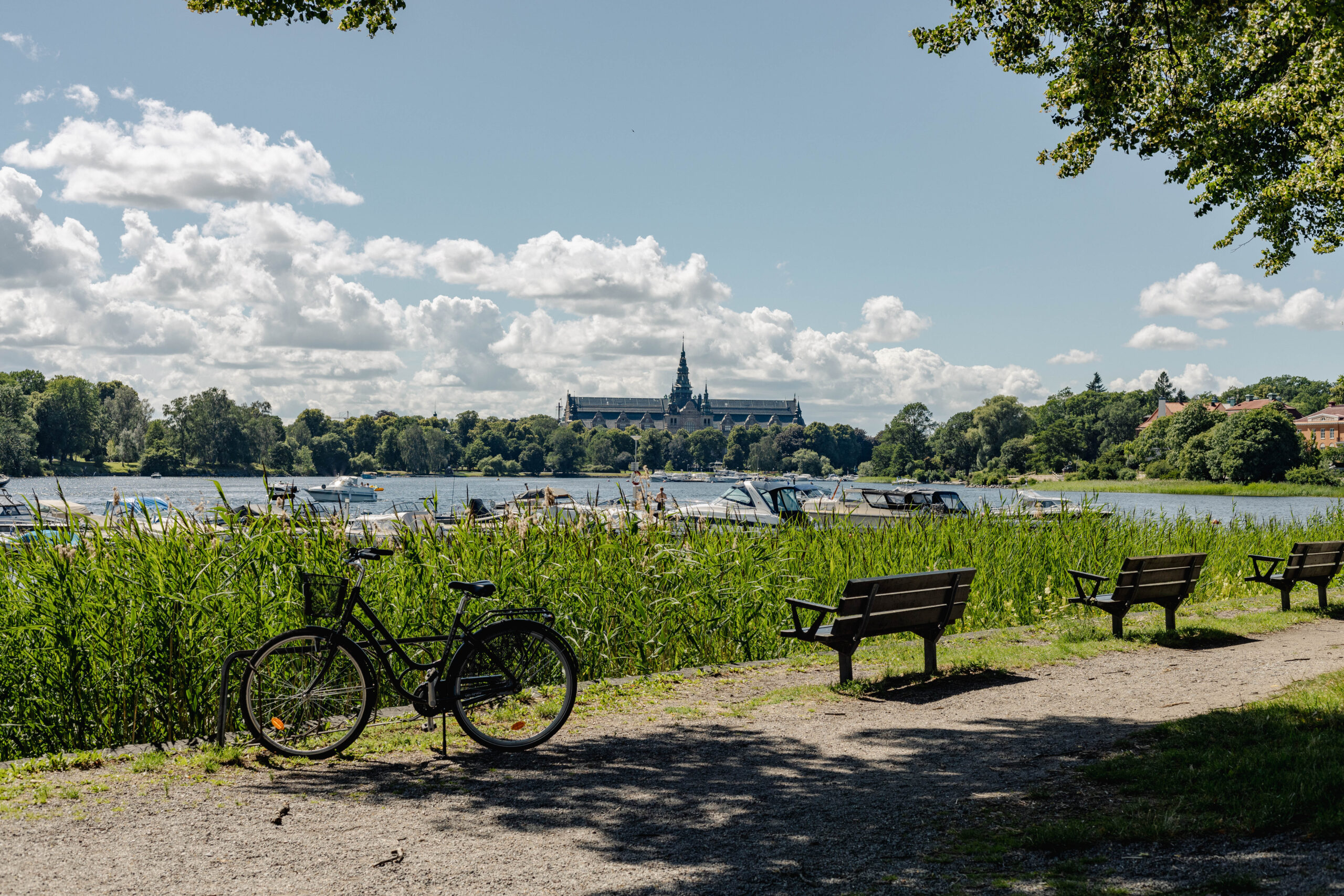
South Djurgården, often simply referred to as Djurgården, is a green oasis in Stockholm that offers a unique mix of nature, culture, and entertainment.
Once royal hunting grounds dating back to the late medieval era, the area has been preserved from extensive urban development and still provides habitats for wildlife, including deer and other animals.
Its vast meadows and lush forests make it ideal for picnics and barbecues, while the numerous walking paths are perfect for strolling, jogging, and cycling. The tranquil waterfront areas add to the natural charm, offering a serene outdoor experience.
Attracting over 10 million visitors annually, Djurgården is one of Stockholm’s most cherished recreational spaces.
See Djurgården (South Djurgården) on Google Maps
Tantolunden
Tantolunden is a popular urban park located on the island of Södermalm. Close to Zinkensdamm and Hornstull, the park is bordered by bay Årstaviken, in the lake Mälaren, to the southwest and is easily accessible from central Stockholm. Covering a substantial area, it is one of the largest parks in the inner city.
The park offers a wide range of amenities, including Tanto Beach for swimming, beach volleyball courts, mini-golf and frisbee golf courses, and an outdoor gym. Its expansive green lawns, tree-lined pathways, and flower gardens make it a perfect spot for picnics, jogging, or simply unwinding in the fresh air.
Tantolunden also hosts cultural activities throughout the year, such as concerts and festivals, attracting visitors of all ages.
On warm summer days, the park truly comes to life, with locals gathering on the lawns near Hornstull to sunbathe, enjoy picnics, or relax outdoors.
See Tantolunden on Google Maps
Vasaparken
Vasaparken is a lively urban park located in the heart of the Vasastan district. This inner-city green space is popular with locals and offers a range of unique features, including an artificial ice rink in winter, a football (soccer) field, a children’s playground, and a dog park.
The park also has a special connection to the beloved children’s author Astrid Lindgren, who lived nearby. In her honor, a corner of the park is named Astrid Lindgrens terrass (Astrid Lindgren’s terrace).
Come here to enjoy some greenery in the middle of the city, have a picnic, take part in seasonal activities like ice skating or sports, or simply people-watch. It’s also conveniently close to many restaurants and cafés in Vasastan district, making it easy to combine your visit with a meal or coffee.
Kungsträdgården
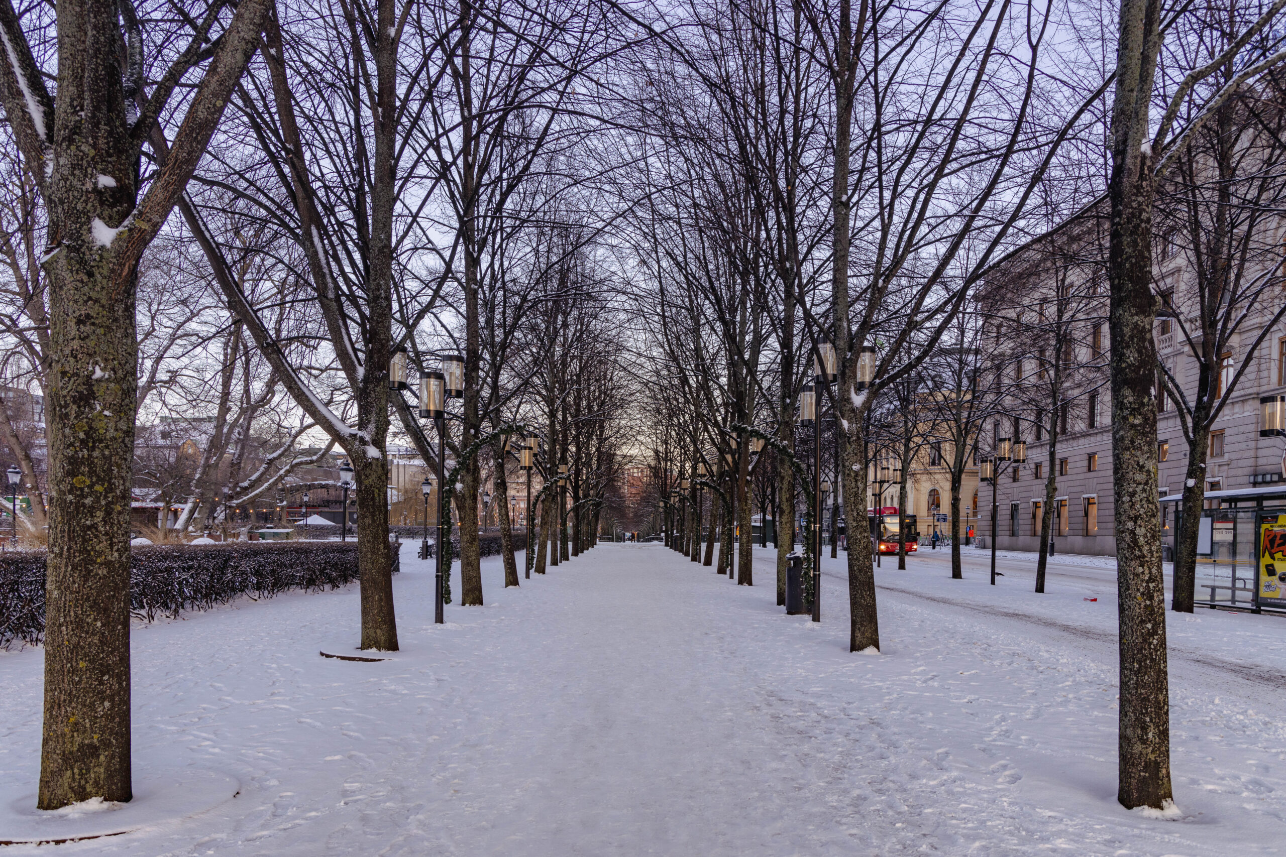
Kungsträdgården (Swedish for King’s Garden) is a historic public park located in the heart of Stockholm. It is one of the city’s most popular urban spaces, and its central location helps attract many visitors, especially on weekends.
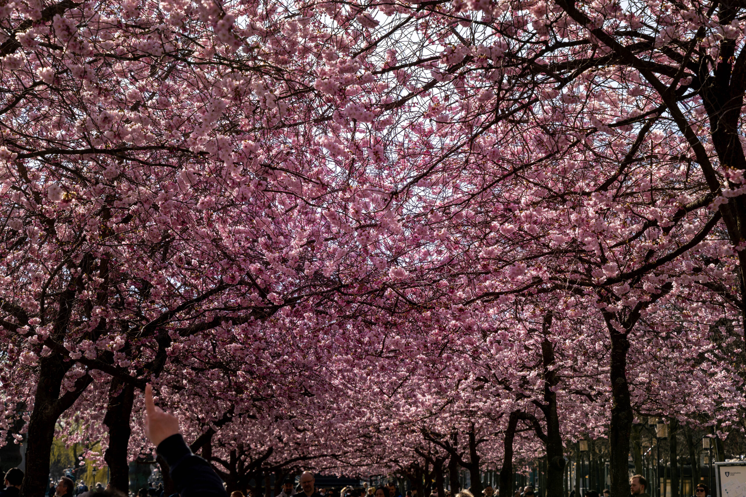
One of the park’s highlights is its cherry blossom trees, which bloom every spring and create a stunning display that draws thousands of visitors.
Throughout the year, Kungsträdgården hosts a variety of events, including concerts, festivals, and outdoor exhibitions. In winter, part of the park transforms into an ice skating rink, adding to its seasonal charm. During the warmer months, the park becomes an active cultural hub, with open-air concerts and lively gatherings.
See Kungsträdgården on Google Maps
Rålambhov’s Park
Rålambshov’s Park, affectionately known as “Rålis,” is a vibrant public park located in the Kungsholmen district, near Västerbron Bridge.
The park is a perfect blend of urban recreation and natural beauty, offering panoramic views of City Hall and Gamla Stan. It’s a favorite gathering spot for both locals and visitors.
With its stunning waterfront location along Lake Mälaren, expansive green spaces, and designated barbecue areas, Rålis is ideal for picnics, relaxation, and soaking in the outdoors.
The park also provides a variety of activities, including soccer, frisbee, beach volleyball, an outdoor gym, and a skateboard park. It’s equally suited for sunbathing, walking, jogging, and enjoying cultural events or concerts held throughout the year.
See Rålambhov’s Park on Google Maps
Humlegården
Humlegården is a historic public park in Stockholm’s Östermalm district. With its central location, it offers a peaceful retreat amid the city’s lively atmosphere.
Established in 1583 by King John III, the park was originally a royal garden dedicated to hop cultivation, which is reflected in its name (“humle” means “hops” in Swedish). Over time, it evolved from an exclusive royal space into a cherished public park.
Spanning approximately 22 acres (8.9 hectares), Humlegården is one of Stockholm’s larger urban parks. It’s a versatile space where you can enjoy leisurely strolls, picnics, and sunbathing during the warmer months, or sledding in winter. The park is also a favored spot for social gatherings and quiet relaxation, making it a year-round destination.
Långholmen
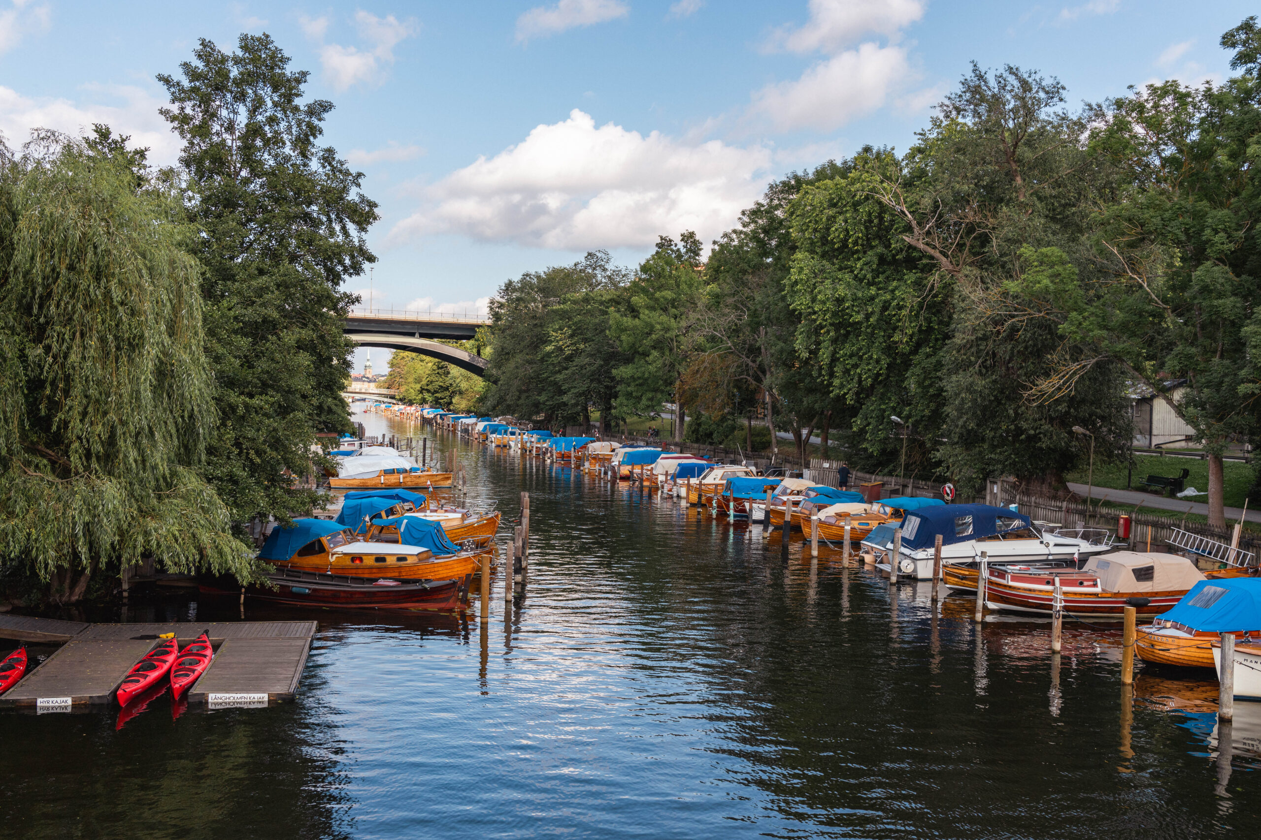
Långholmen is part of the Södermalm district but sits as its own separate island, located between Södermalm and Kungsholmen. It is accessible via two bridges, Pålsundsbron and Långholmsbron, as well as a third entry point from the bridge Västerbron, which connects the island Södermalm and Kungsholmen.
Originally owned by the Swedish Crown, the island was gifted to Stockholm by Queen Christina in 1647. Once a rocky and barren place, it was transformed into a lush green space by prison inmates who dredged mud from the surrounding waterways.
The island is rich in nature, with many forest paths perfect for walking. It offers stunning views of Norr Mälarstrand across the Riddarfjärden bay. To the right, you can spot City Hall, and to the left, Rålambshovsparken. Långholmen is a popular destination for picnics, walks, and swimming, with a small beach that can get crowded in the summer.
Observatorielunden
Observatorielunden is a picturesque park in Stockholm’s Vasastan district, centered around the city’s first astronomical observatory, established in the mid-18th century. Originally a closed scientific space, the park was opened to the public in the early 20th century, offering a serene green retreat in the heart of the city.
The park is situated on Observatoriekullen (the Observation Hill), a steep hill that offers scenic views of the city. This hill is part of Brunkebergsåsen, an ancient ridge formed during the Ice Age and one of the last remnants of this natural formation in Stockholm. It is bordered by major streets, including Odengatan, Sveavägen, Kungstensgatan, and Drottninggatan, making it easily accessible.
Observatorielunden consists of two distinct areas: the upper section, a classic landscape park with winding paths and large trees, and the lower section, designed in a functionalist style by architect Gunnar Asplund.
Here you can enjoy panoramic views of Stockholm’s skyline, picnic areas, walking paths, and quiet spots for relaxation. The park is also dog-friendly, making it a favorite among locals for both leisure and nature strolls.
See Observatorielunden on Google Maps
Karlberg’s Castle Park
Karlberg’s Castle Park (Karlbergs slottspark) is a historic park in Solna, just north of central Stockholm. Originally designed as a lavish Baroque park, it was transformed into an English-style landscape in the late 18th century, blending formal gardens with more naturalistic settings.
The park is part of the Karlberg Military Academy grounds and is open to the public daily from 6:00 AM to 10:00 PM. It has a mix of manicured lawns, wilder natural areas, jogging trails, and various historical monuments. Here you can also enjoy views of the northern castle façade, which still reflects its original Baroque style.
A favorite spot for walking, jogging, and photography, Karlberg’s Castle Park is particularly popular for wedding photo shoots. It remains an active training ground for the Military Academy and is recognized as a cultural heritage site of national significance.
See Karlberg’s Castle Park on Google Maps
Vanadislunden
Vanadislunden (The Vanadis Grove) is a tranquil urban park known for its stunning city views and serene green space. Named after Vanadis, an alternate name for the Norse goddess Freyja, the park spans approximately 9 hectares (22 acres) and measures 430 × 270 meters (1,410 × 885 feet).
Located on Brunkebergsåsen, a geological ridge, the park’s highest point rises 43 meters (141 feet) above sea level. Its rolling landscapes and elevation create a dynamic terrain that adds to its charm.
Vanadislunden is a popular spot for picnics, with panoramic views of Vasastan and Östermalm. The park offers walking paths lined with large trees, open grasslands, and peaceful corners, and is an ideal destination for relaxation, photography, or a quiet escape.
See Vanadislunden on Google Maps
Vitabergsparken
Vitabergsparken is a cherished public park in Stockholm’s Södermalm district. Historically known as “Hvita berget” (White Mountains), the area underwent a remarkable transformation from one of Stockholm’s poorest neighborhoods in the 18th and 19th centuries into a vital green space.
The park’s hilly terrain offers sweeping views of Stockholm’s skyline, with Sofia Church (Sofia kyrka) standing prominently on a hilltop 46 meters (151 feet) above sea level. Its features include extensive lawns, winding paths, lush gardens, and several hidden staircases. There’s also a playground for children, a dog park, and picnic areas. In addition, the park is home to an outdoor amphitheater that hosts summer performances and a seasonal café for refreshments.
Vitabergsparken is a popular location that is perfect for picnics, social gatherings, and Midsummer celebrations. In winter, its slopes transform into a popular sledding destination, adding to the park’s year-round appeal.

