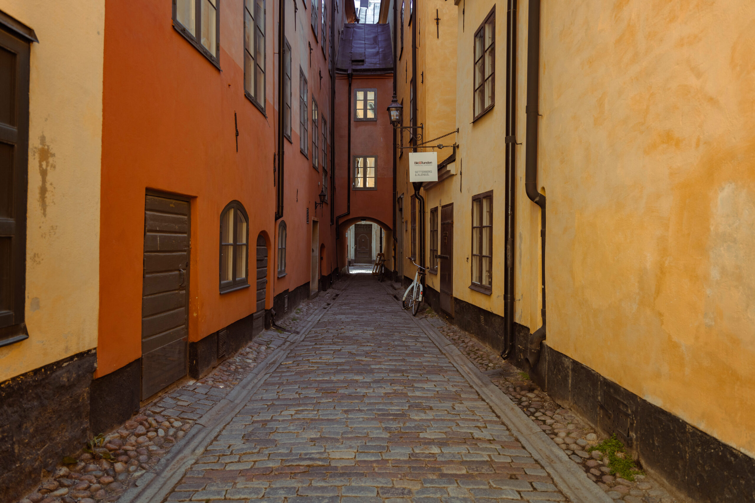
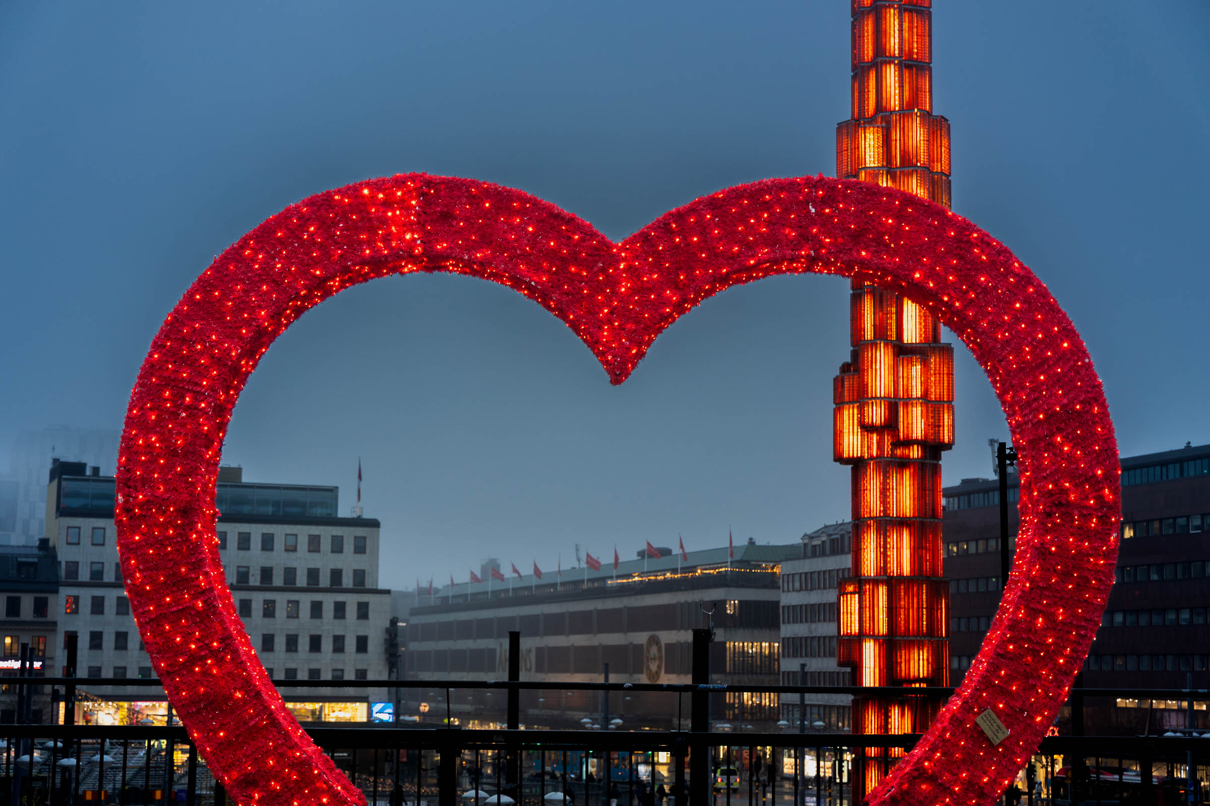
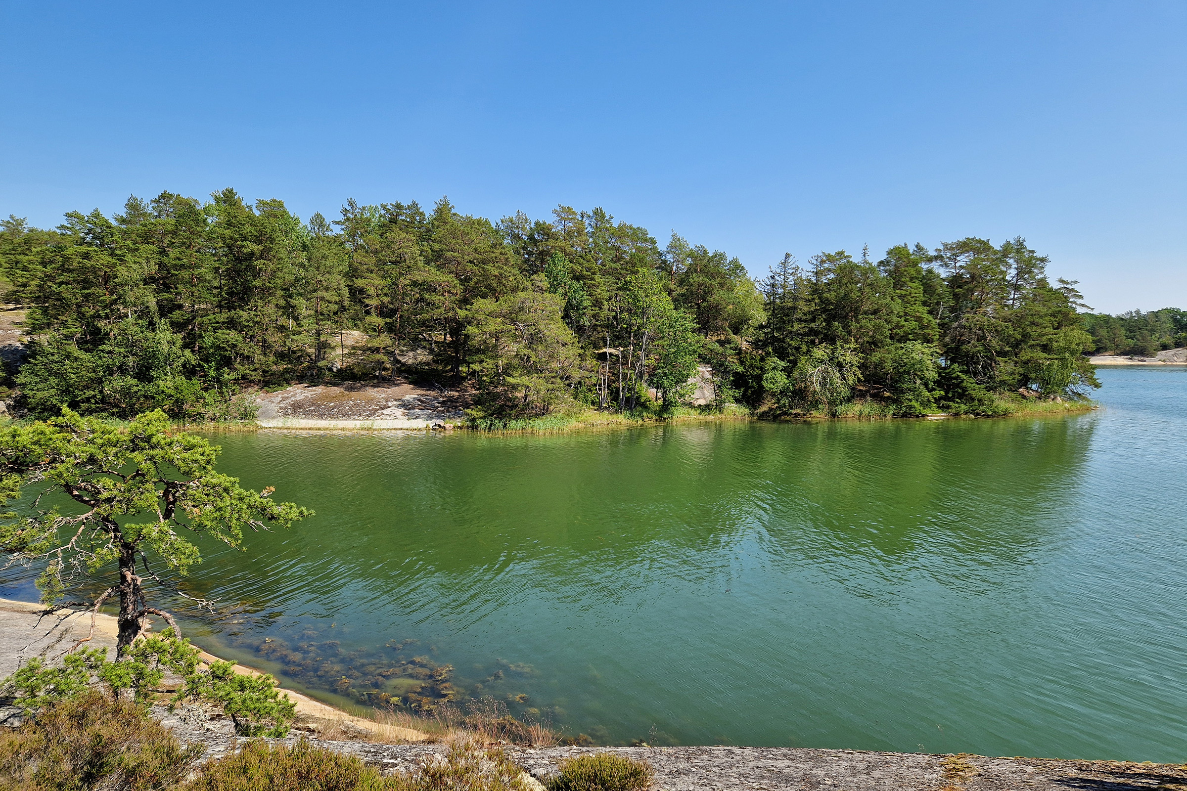
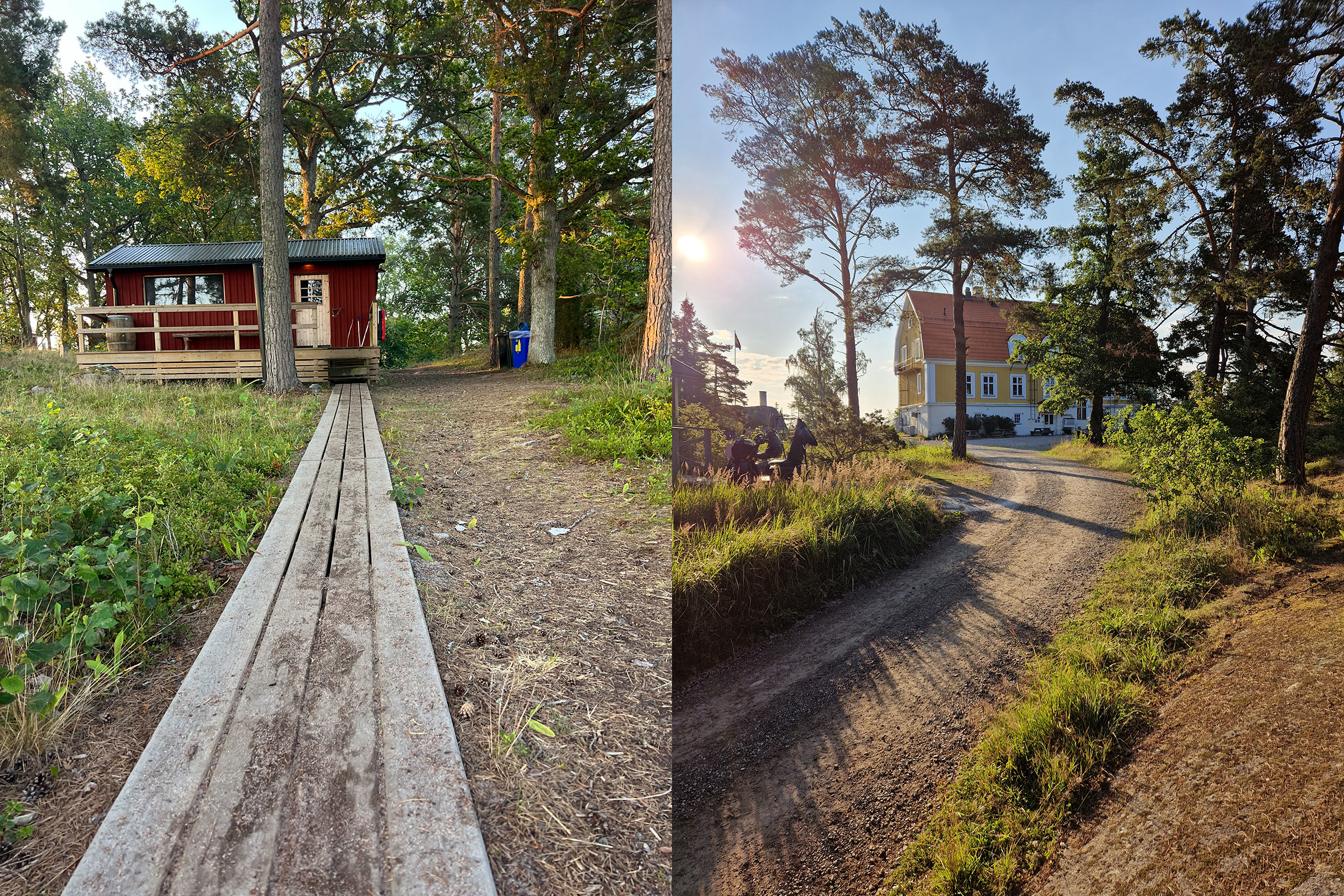
A great way to discover and experience Stockholm is by walking. With its welcoming sidewalks and bustling neighborhoods, Stockholm is great to be discovered by foot. The beauty of discovering the city by walking is that you get to see its architecture and how it’s changing between different parts of the city. We love walking in Stockholm and just exploring different streets, viewpoints and neighborhoods.
We have handpicked a selection of our favorite walks, which will take you to some of the must see places in Stockholm. Uncover the essence of this dynamic city as each route leads you to must-see landmarks, serene parks, and awe-inspiring viewpoints perfect for capturing Insta-worthy moments or simply taking in the city’s iconic skyline. These walks will take you through a mixed environment and city landscape. They will have scenic nature, monuments, and viewpoints along the way. We have included some suggestions for where you can stop for a coffee or lunch along the way, and also highlighted some landmarks which we think are worth seeing along the way.
Get ready to experience Stockholm from a whole new perspective, as you wander through the heart of the city, soaking in its culture, and embracing the unique vibe of each district. Whether you’re a seasoned traveler or a first-time visitor, these walks will reveal the soul of Stockholm, leaving you with memories to cherish long after you’ve returned home.
So put on your comfiest shoes, grab your camera, and let us guide you on some of the best walking escapades Stockholm has to offer.
City Hall to Slussen
The route will take you from the City Hall, along the waterside of Kungsholmen, to the park Rålmabshovsparken, and then over to the island Södermalm where you will pass several scenic viewpoint sights at the hills just above Södermälarstrand, on the south side of the bay Riddarfjärden. There are some excellent options for taking a coffee or lunch along the way. The whole route is approximately 1.5 hours.
https://goo.gl/maps/ippwNVhCmHbe8g7a7
Before starting the walking route this is a perfect time to explore the park surrounding the City Hall, and also to make your way up into the tower of the City Hall for a great view of the city. Start the walk at the City Hall and continue along the water side of Norr Mälarstrand.
Make your way along the north banks of the bay, Riddafjärden. This is the eastern bay of Stockholm of Lake Mälaren. It was an important trade route during Stockholm’s early days. There are several restaurants and cafés along the waterfront, with both outdoor and indoor seating. The promenade along Norr Mälarstrand is one of the most scenic views having the waterfront on your left and the mix of modern architecture and historical buildings on your right.
Continue along the waterfront and make a stop for gelato at Gelatokiosken just by the water. The kiosk serves delicious gelato with some seatings facing the water. This is a perfect spot for taking a rest, enjoying some ice-cream, and taking in the view of the bay Riddarfjärden. On the other side of the bay you will see the skyline of Södermalm, the southern island of Stockholm city.
From here on the path continues into a tree alley that leads along a lush alley, just by the water. Take your time along the alley and enjoy the views and the beauty of the city. You will pass the restaurant, Mälarpaviljongen, which is an excellent stop for lunch. The restaurant is an open-air restaurant that is located right on the water, built on floating wooden decks along the water. In the evenings the venue becomes a popular destination for cultural events, live musics and a get together location for locals. The menu is focused on Swedish dishes.
After stopping for lunch, continue your way along the waterside towards the park Rålambhovsparken. This is a vibrant city park to just sit and have a rest, a picnic or take a swim in the Lake Mälaren. During the summer locals play beach volleyball on the constructed sand courts, and there is a skatepark just beneath the bridge connecting the island Södermalm with Kungsholmen.
Make your way through the park and continue onto the bridge, Västerbron, which will take you towards the southern island, Södermalm. Västerbron is one of the longest walkable bridges in Stockholm and it offers great panoramic views of the city. It was renovated in 2023 broadening the pavements, giving more space for walking and cycling, leaving more space for people who walk in both directions over the bridge.
Once on the other side of the bridge, make your way towards Fern & Fika, for some tea or coffee and some typical Swedish fika. Fern & Fika serves plant-based and organic food and has delicious cakes and biscuits for your fika.
The final part of the route will take you up on the southern banks hills, for some of the best view points in Stockholm. Continue past the church Högalidskyrkan and make your way up the hills of the park Skinnarviksparken. This is a nice park to just stroll around, and will take you to the lookout point at Skinnarviksberget. From here you will be able to see the skyline of central Stockholms, with the City Hall, the Riddarholmen Church, the tall attractions at the amusement park, Gröna Lund, and you will see as far as the Norra Tornen, the two high rise apartment buildings in the district Vasastaden, in Northern Stockholm. After Skinnarviksberget, continue west for about a 15-20 minute walk to Monteliusvägen. This is a long promenade where you can get a close up view of both Riddarholmen as well as the City Hall.
Once you have taken in all the views, make your way down to lower altitudes, and walk towards Slussen, which is a central place from which you can continue on your next part of the day.
Hornstull to Vinterviken
This route will take you from Hornstull, along the beautiful waterside of Gröndal, to the nature sights of Vinterviken and around the lake Trekanten. There are options for swimming, sunbathing and several cafés and lunch restaurants along the way. The whole route is approximately 2 hours.
https://goo.gl/maps/BiAHbadTMJ3k9Ao39
Start at Hornstull, which is easily accessible by public transport and has its own metro station with the same name. From Hornstull make your way south over the bridge Liljeholmsbron which will take you over the bay Årstaviken and connect the island Södermalm with Liljeholmen. You are now leaving the island Södermalm, and are about to enter the southern parts of Stockholm. These parts are full of nature, and is a beautiful place to experience by foot. Once off the bridge, turn right and head towards the small park Trekantsparken, which is located by the edge of the lake Trekanten. Enjoy the view of the lake and continue on the road on the north side of the lake (right side when facing the lake). The road will take you along the northern beach of the lake, and this is a good place for a picnic or a break on the grass.
Once the road continues into a crossing, turn right and continue north towards the water of the lake Mälaren. When you reach the road you will see the lake Mälaren on the other side of the road. Cross the road and continue left alongside the lake beach. This is a scenic walking trail, with a jetty built along the water, leading all the way by the Gröndal coastline. This part is by far our favorite part of the route.
The route will take you to Vinterviken, which is a large nature area with access to beaches for swimming and sunbathing. A popular location is the Örnbergets bad, which has a jetty to swim from and cliffs overlooking the water where you can sunbathe.
Vinterviken is a great place to stop for a coffee, a picnic or just for a rest and enjoy the peaceful nature. There are two restaurants in Vinterviken, which are both great for taking a break and a cup of tea or coffee, and they also serve lunch.
Here you will pass the buildings where Alfred Nobel had his factory that produced dynamite in the 1860s. The buildings here are preserved due to being of historical and cultural importance, and the whole area was rebuilt into a recreational area in the 1980s. Make a stop at the restaurant Winterviken and enjoy having a coffee or lunch in the same building where Alfred Nobel once produced dynamite. The restaurant has both outdoor and indoor seating, and overlooks the Vinterviken park area.
A bit further along the road is the Vinterviken Garden, a recreational area with outdoor performance stages, greenhouse, and an outdoor café, within a lush garden. This is the perfect stop for a really relaxing coffee or some local produced food. This is a vegetarian café serving dishes made from locally grown crops. Having a Swedish fika under the apple trees in the garden café is a great way of taking a break during a walk.
After the break, continue on the gravel road and head towards the lake Trekanten. This time you will continue along the south beach of the lake, which will take you through a forest area and you will exit at the park Trekantsparken, where you first reached the lake. Continue back the same way as you got here, over the bridge and be sure to walk on the right side of the bridge this time. You will see the view of the new city skyline Liljeholmskajen with its high rise buildings. Continue towards Hornstull where you started the walk.
Slussen to Kungsträdgården
The route will take you from Slussen and through Gamla Stan (The Old Town). You will explore the charming island Skeppsholmen, and the walk will offer plenty of views from the waterside and opportunities for great photos. The whole route is approximately 1.5 hours.
https://goo.gl/maps/YhWx3EYEFfrn9neUA
Start the walk at Slussen and head north towards Gamla Stan (The Old Town). From the large square at Slussen you will pass the Golden bridge into the Old Town. The Old Town is full of narrow alleyways, cafés, shops and squares. Stop by the German Church and admire its architecture. This church was built in 1571 and got its current name due to the fact that the area was dominated by Germans in the middle ages, and it is also called St Gertrude’s Church, after Saint Gertrude, who lived in the 7th century.
An interesting detour within the Old Town is via the sculpture Boy Watching the Moon (Iron Boy), at Trädgårdsgatan 2. The sculpture is 15 centimeters high and thereby the smallest monument in Stockholm. It was created by the Swedish artist Liss Eriksson, in 1954 and has been in its current location since 1967.
Continue to the central square Stortorget, where you will find several coffee shops, restaurants and also the Nobel Prize Museum. Stortorget is Stockholm’s oldest square and it was the central square when Stockholm was first founded. The square is rich with history, and is the place where the Stockholm bloodbath took place in 1520. It was during this time the cannonball was fired towards the Danish king Christian Tyrant, and the cannonball is still stuck in the corner of one of the buildings at the square. You can see it just above the street sign of house number 7.
Continue north from Stortorget , passing the Royal Palace, you will reach a beautiful promenade by the water. Keep right as you pass the bridge Strömbron, and continue along the docks in front of the Grand Hotel. This is a great place for admiring the Royal Palace and the city skyline of Stockholm’s old town, the oldest part of the city.
The walk from here continues over a bridge leading to the small island Skeppsholmen, where you find both the Museum of Modern Art, the Toy Museum and the Museum of Far Eastern Antiquities. Admire the sculptures in the park surrounding the Museum of Modern Art and continue over the next bridge which will lead you towards the even smaller island, Kastellholmen. Go up to the viewpoint right next to the citadel Kastellet. From here you can see out towards Djurgården and the amusement park Gröna Lund, and this is a great place for taking scenic photos.
On your way back, walk along the waterline for a nice view. You will see Djurgården on the other side of the water. Further on, pass the dock Nybrokajen and continue through the Berzelii Park, which will take you to the final destination, the park Kungsträdgården. Kungsträdgården is a good place to end the walk, sit down and relax or have a coffee or something to eat in one of the cafés or restaurants.
Roundtrip through Djurgården
Djurgården is one of our favorite places to walk. This is a scenic walk through Djurgården. The whole route is approximately 2 hours.
https://goo.gl/maps/FmsPcq2s1TNHePY88
Start at the bridge Djurgårdsbron on the south side of the bridge and take a left just after the bride. Make your way through the blue gate that marks the entrance to the Royal Djurgården. Continue along graveled path along the river bank.
The first stop, Rosendals Trädgård, is a retreat nestled amidst lush gardens. Here, the air is perfumed with the scent of flowers and freshly baked bread from the onsite bakery. Take a moment to explore the organic gardens, admire the vibrant blooms, and perhaps indulge in a fika—the Swedish tradition of enjoying coffee and pastries.
Continuing along the north banks of Djurgården, the path unveils a tapestry of natural beauty. Lookout points intermittently reveal stunning vistas of the archipelago and the tranquil waters of the Baltic Sea. The Blockhusporten stands tall, a historic structure that beckons with tales of bygone eras, inviting a pause to soak in its storied past.
As you venture along the south banks, the silhouette of Prins Eugens Waldemarsudde emerges, an elegant palace-turned-museum surrounded by sculpted gardens. This cultural haven houses a remarkable collection of art, offering a glimpse into Sweden’s artistic heritage.
Before completing the loop back to Djurgårdbron, consider a leisurely break at a café or restaurant. One charming option is to savor a traditional Swedish lunch at a spot like Oaxen Slip, blending exquisite flavors with a serene ambiance by the waterfront.
On your way back to Djurgårdsbron make a lunch stop at the quaint restaurant Ulla Winbladh offers a cozy atmosphere and delectable treat. The restaurant is housed in a beautiful, traditional wooden building adorned with ivy, exuding an old-world charm that captivates visitors upon arrival. Its cozy and rustic interior, with wooden beams and warm lighting, creates an inviting atmosphere, welcoming guests to unwind and indulge in a relaxing dining experience. They serve classic Swedish cuisine with a modern touch.
As you cross back over Djurgårdbron, you’ll carry memories of a day immersed in Stockholm’s harmonious blend of nature, history, art, and culinary delights. Each stop along the way painted a unique stroke in the canvas of your exploration, creating an unforgettable journey through this captivating city.
Hagaparken to Sankt Eriksplan
This walk will take you through the beautiful Hagaparken.
https://goo.gl/maps/qFy4uTGk1h9BW2CZ7
Start at Solna station, and make your way to the entrance to the Haga north gates. Make your way into the Haga park. There are multiple paths and roads throughout the royal national city park. We recommend a stop at the Butterfly House, which has a large collection of butterflies, as well as an aquarium with sharks.
Stop by the Chinese pavilion and the Gustav III’s pavilion. From there continue towards the cemetery Norra begravningsplatsen (The North Cemetry), which is a serene and beautiful place to walk through. You will pass the restaurant Haga Torn, which is great for a lunch break.
Exit the Haga park and continue south towards Sankt Eriksplan. You will pass the new city district Hagastaden, which will connect the northern parts of Stockholm city and is being constructed from 2017 to 2030. There are several great places for a Swedish fika along the way. Try the café Systrarna Andersson or Haga Tårtcompani & bageri. The ice cream shop Gelatanova Norra stationsgatan is a great place for ice cream. If you are up for lunch the restaurant Bistro Guld is an arty restaurant and café in the same building as the Sven-Harrys Art Museum.
Tantolunden to Slussen
This walk will take you through the large park Tantolunden and through the island Södermalm. You will pass through some great nature spots, and at the end of the walk you will pass some of the most scenic viewpoints overlooking the city. The whole route is approximately 1.5 hours.
https://goo.gl/maps/b35NHNhGhh89sfJa7
Start at Hornstull and head down towards the water. There are stairs just by the bridge Liljeholmsbron, leading downwards towards the beach. This is a popular area for swimming and sunbathing, with a large grass area just by the waterfront. This is a part of the popular park Tantolunden.
Continue along the shoreline of the bay Årstaviken. This is a long car free road which will take you along a scenic nature and there are several cafés to stop by along the way. Pass over the floodgate Hammarbyslussen, and along the northern shoreline of the canal Hammarbykanalen, which connects the lake mälaren with the bay Saltsjön, which connects the Baltic Sea with the lake Mälaren. The canal Hammarbykanalen is an artificial sea level water-way that opened in 1930 and created a new harbor and industrial area. The industrial area was transformed into a new city district, called Hammarby sjöstad, between 1994 and 2020. Today the district is a vibrant residential district with plenty of restaurants and cafés.
Follow the northern shore of the Hammarbyknalen towards Anna Lindh’s park, where you turn left towards the park Vitabergsparken (The white mountains). The park has large grass areas and is a great spot for a picnic. Take a walk on the hilly slopes through the park and make your way towards one of Stockholm’s most scenic views at Fjällgatan. Enjoy the view of Stockholm’s skyline as you make your way to Slussen.


